


(Guadalupe County) –The National Weather Service is officially confirming that the tornado that rotated its way through eastern Guadalupe County was an EF2.
With estimated peak winds of 115 miles per hour, the EF2 is the second strongest set of tornados that can be reported.
The National Weather service survey summary states that the supercell began developing west of Seguin dropping large hail across much of the area.
The summer states,” A damage survey found mostly small tree limbs down and a few metal pieces off of two sheds south of I-10 and East of Seguin more consistent with straight line wind damage. The rotation began to tighten as the storm crossed Interstate 10 at 5:47 p.m.
Based on radar data, the tornado began roughly a minute later. The tornado crossed Appling Road where it took off metal panels from two different barn structures including one barn that lost all its metal roofing and possibly part of an exterior wall.
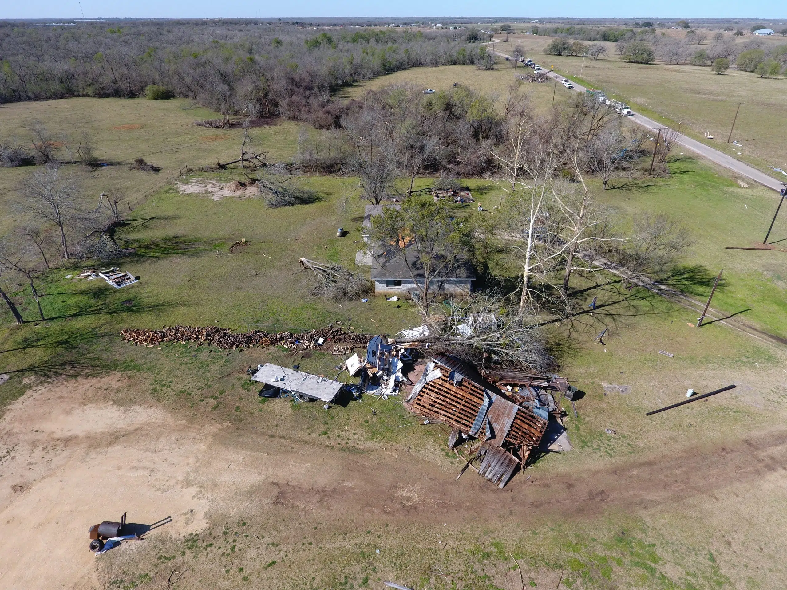
The tornado next crossed Hwy 90 and moved almost in parallel to Woodrow Center Road for about a mile and a half damaging several large trees and two residences. One residence sustained minor damage to their roof in the form of lost shingles. The other residence, a neighbor sustained more significant damage to their roof.
On the same property, a large RV was moved about 100 feet from where it was parked and then was destroyed when it hit a tree. An old wooden barn was also pushed over and twisted. The tornado continued down Woodrow Center Road and crossed Gander Slough Road. It moved back into an area of shrubs and trees with not many roads along the San Marcos River.”
Several groves of trees were also damaged and uprooted. The path of this specific storm went on to cross Hwy. 80 impacting two other homes before quickly falling apart near FM 671 in the Luling area.
The report was released to the Guadalupe County Emergency Management Office late Wednesday afternoon.